The Chupadera Peak Trail
Bosque del Apache NWR
December 28, 2013
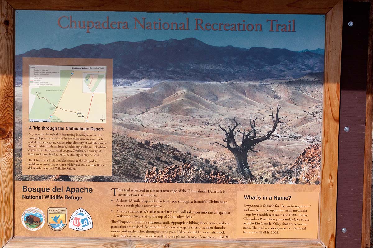
Trail Head Sign
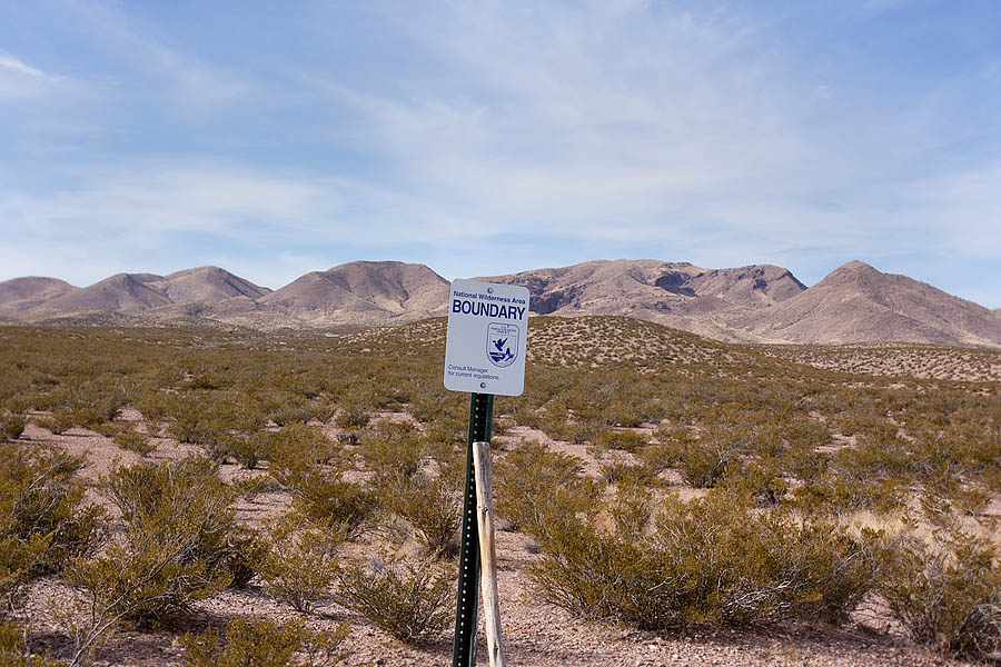
The boundary of the Chupadera Wilderness Area is marked.
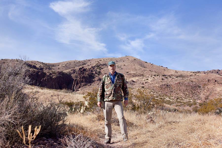
This is about 3 miles out, still looking pretty peppy. I've seen Brewer's
Sparrows, Cactus Wren, Chipping Sparrows, Black-throated Sparrows,
Merlin, Sage Sparrow, and a Roadrunner.
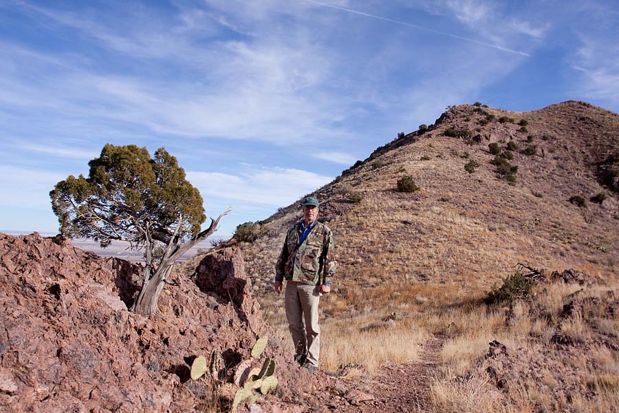
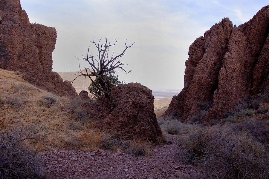
Starting to lean a bit. I wonder how old that juniper is?
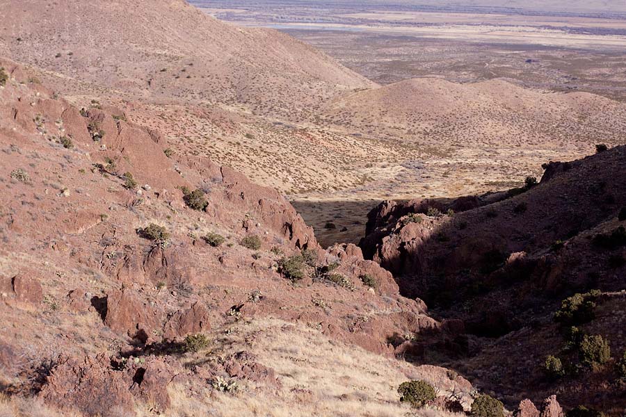
The trail leads up through these cliffs of volcanic rock.
Dark and cool in here.
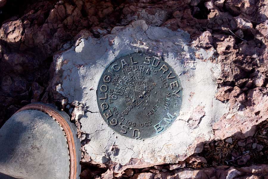
The USGS marker on the peak, dated 1934. I don't know why the elevation isn't
marked, but according the refuge brochure the peak is 6195 ft. above sea level.
And they spelled Chupadera "Chupedera".
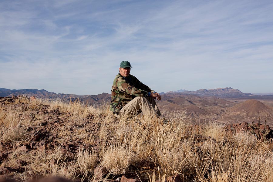
Definitely tired out now, with one blister and sore feet. All down hill from
here.
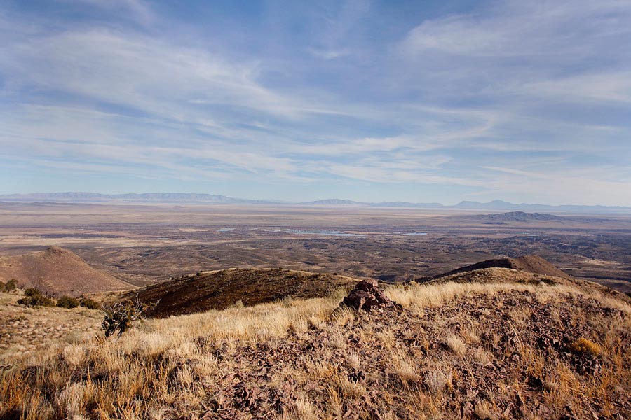
Pile of rocks on the peak, Bosque del Apache NWR in the Rio Grande River valley
to the east.
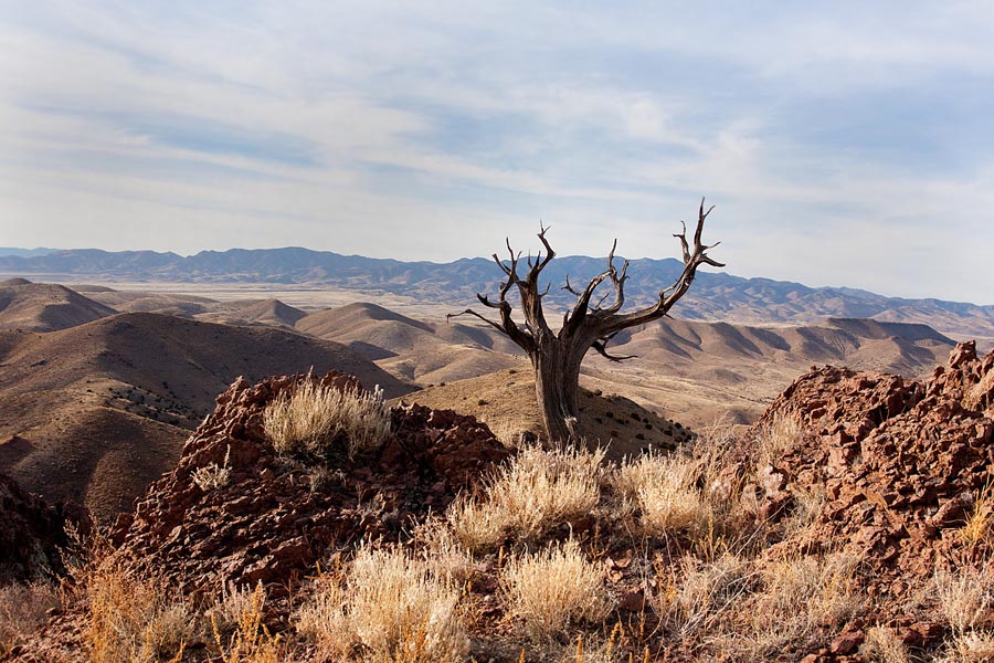
The Magdalena Mountains to the west. That's the same tree in the picture at the
trail head sign.
HOME